One of the strongest La Niña events on record continues to influence the climate of the entire world. Flooding in Australia and the West Coast of the United States has meant rain here at home. But why? Usually, La Nina results in warmer, drier weather conditions for
the Southeastern US. October and November resembled a normal La Nina pattern but a sudden change in the location of 2 significant high pressure systems changed the normal weather patterns.
 |
| Normal El Nino and La Nina Weather Patterns |
High pressure systems affect the North Atlantic Oscillation Index and Pacific-North America Index. Thanks to the North Atlantic
Oscillation, instead of having warm and dry air, we’re cold and moist due to the negative phase.
The negative NAO index phase is dominated a weak subtropical high over Greenland and a weak Icelandic low.
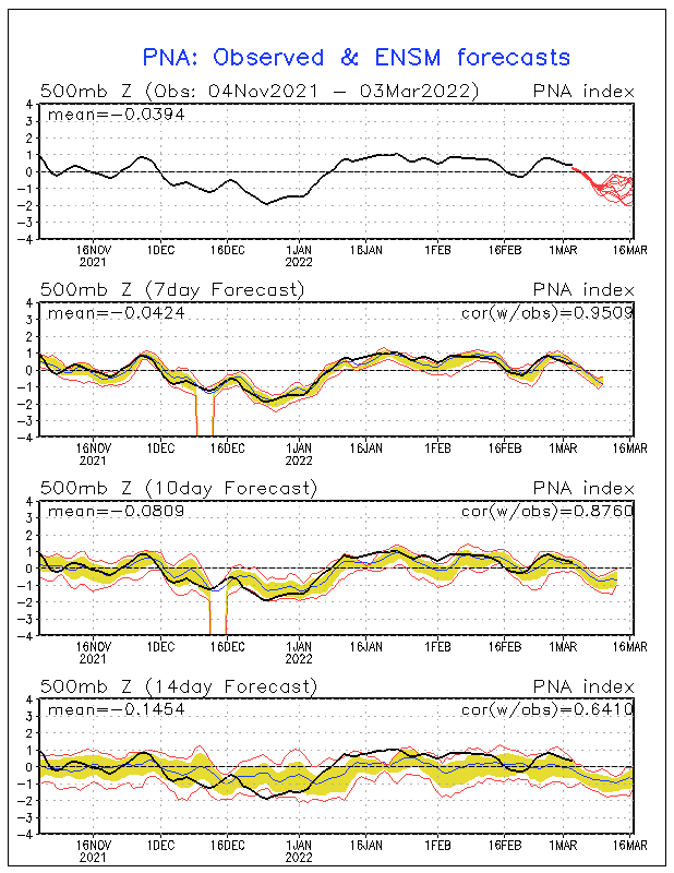
What also helps the drought conditions and sends storms our way is a positive PNA- a strong high pressure system off in the eastern Pacific. To sum up the oscillations, they have basically
superseded the La Niña. It is much more common to have a negative PNA during a La Nina and a positive PNA during an El Nino.
 |
| PNA Forecast |
La Niña will seemingly hang on for much of the rest of the year and will have ramifications on the 2011 hurricane season.
 |
| La Nina Forecast |


Comments