All-in-all July should end up being another calm month, in the tropics. There will be a few exceptions to the rule, though. July averages a named storm about once every 1.2 years. With this year forecasted to be active, it should not be a surprise to anyone to see activity this month. Typically, the Gulf of Mexico, western Atlantic, and eastern Caribbean end up being the areas to watch.
 |
| Previous July Formations of Named Tropical Cyclones |
This July, I think that the southeastern part of the Gulf of Mexico (Bay of Campeche Area) could produce an additional cyclone. If you remember, Arlene, this year's first named storm, formed there and ended up making landfall on Mexico. It is plausible that this scenario happens again, during this month.
For the majority of us, interested in the tropics, it will certainly feel like a slow producing month. And it will be because of certain limiting factors. First off, shear continues to be relatively high across many of the climatological producing areas.
 |
| Shear Map |
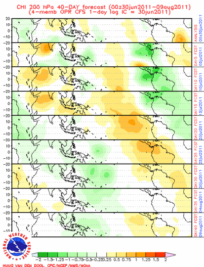
Secondly, the MJO, as well as upward velocities, will be in the wrong status for major development. Currently, the Atlantic is in octane 1/2, these octanes are the ones you want to be in if you want to see development, in the Atlantic Basin. But we are not seeing development. So, we will likely have to wait for a full revolution to occur, before we start to season the season really crank storms out. This could be around 45 days from now, which puts us in ideal timing for the active part, of the hurricane season.
 |
| MJO- As of Early July |
 |
| Upward Vertical Velocities |
>In summary, Bret, the next named storm, could form during the month of July. But, it will likely not become strong and overly destructive. It looks as though Cindy will have to wait well into August. Late August looks like it will be particularly busy. So stay tuned!
 |
| July Concerns |


Comments