So far, the 2011 tropical season has been limited by too much dry air and subsidence across the entire basin. As temperatures start to cool across the Midwest and other continental locations of the U.S., an increase in instability should generally work it way across the Basin.
 |
| Caribbean Instability Running Below Normal |
Instability's weakness is really the main playing card that is holding out this season, since shear is lesser than what it should be and water temperatures are warm. (Low levels of shear is a great indication that La Nina is making an effort to stick around.)
 |
| Caribbean's Shear Below Normal |
 |
| Atlantic Basin Tropical Cyclone Probability |
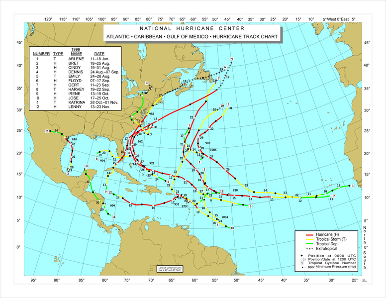
Probabilities of seeing cyclone form have absolutely skyrocketed over just recent days. This pattern change that we are in the midst of is not foreign, we have seen it before. You know how this it was extremely hot across much of the South, from D.C. to Texas, this summer? Look at August 1999's heat anomaly map. Almost all the areas that suffered from the heat this year also sizzled during the summer of 1999.
The consequence of such similarities equates to an increased risk of tropical cyclones along the Southeastern Coast. 1999 was also a La Nina year. Of course, the exact paths of future named storms is yet to be determined.
 |
| 1999 Hurricane Season |


Comments