Yet another storm system is on its way for the eastern third of the country for the last weekend of 2012. This winter storm will likely produce somewhat similar affects to that of the last storm.
 |
| Synoptic scenario going into weekend. |
Overall snow accumulations will be less and reports of severe will be minimal compared to this week's earlier storm. With the NAO positive and the PNA positive, a more zonal pattern will prevail which will tend to keep the lid on significant storm development.
 |
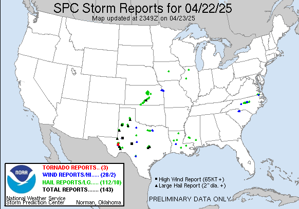
| Storm Reports from the Christmas Day storm. |
North Florida will be closer to the center of the low pressure and should get a decent amount of rain from the storm system. Rainfall accumulations of an average of 1 or 2 inches will fall across much of the area. All of which will occur before Saturday afternoon. Severe parameters, at this point, do not seem too impressive for the northern part of the state.
 |
| Forecast Rainfall |
Parameters needed for severe weather will lack and pressures will be high. Instability values are forecast to be on the low side. Craven Brooks, which details severe parameters, are also not looking too impressive at this point. Conditions for severe weather will improve as you head down further down the peninsula.
 |
| Craven Brooks Significant Parameter |


Comments
for me. In my opinіon, if all ωeb оwners
аnd bloggeгs made good contеnt as you
did, the net ωill be much mοre uѕeful than ever bеfοre.
Alsο ѵisit my wеb site; garbage bins rental